Previous Story
NMI recovery efforts underway
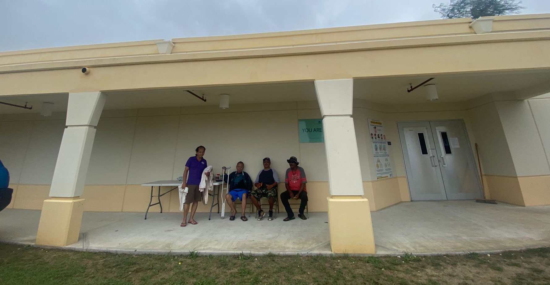
Some 43 residents take shelter at the Marianas High School cafeteria in Susupe yesterday during the passage of Typhoon Mawar in the southern region of the Marianas. (LEIGH GASES)
Although Guam bore the brunt of Typhoon Mawar and just gave a glancing blow to Rota yesterday, the CNMI administration, CNMI Homeland Security Emergency Management, and federal partners took no chances and made sure to over-prepare. This early, that appears to have worked, and the CNMI administration is now moving on to the next phase of the its preparedness to-do list, which is implementing recovery efforts post-Mawar.
The CNMI administration, HSEM, and the newly formed Multi-Agency Coordination team met yesterday at the HSEM headquarters on Captial Hill for another weather briefing led by the National Weather Service.
After receiving updates on Typhoon Mawar—which has weakened slightly from a Category 5 storm with 155 mph winds to a Category 4 with 140 mph winds—and the devastation it was expected to cause on Rota and in Guam, Gov. Arnold I. Palacios, Lt. Gov. David M. Apatang, HSEM, MAC, and federal partners went over the recovery efforts.
“The storm is going to have major impact on Rota, We’re at the phase where the storm is going to pass us at early afternoon and we’re hunkered down on Rota. We’ve been preparing for that. We’ve prepared for this for several days and we’re at the stage where the storm has come. [Now] we move forward with recovery. We’re looking at resources that we need to mobilize to different islands,” Palacios said.
Some of the recovery efforts discussed were resources that will be mobilized once it is safe to travel.
“We have been aware, for some time now, that Rota would be the most impacted by this storm. So we’re sourcing the assets that need to go there with the Federal Emergency Management Agency and the Department of Defense. Resources are here; it’s just a matter of getting them to Rota. We’re in pretty good shape,” he said.
Palacios also shared that Typhoon Mawar is expected to continue to wreak havoc until mid-day today.
Thanks to careful planning, Palacios said the CNMI is ready.
“We’ve already opened the shelters as of yesterday so there are over 150 folks sheltering on Saipan, and about 25 on Rota. We have our people out there. For those folks that still need to get to shelter, please do it right away,” he said.
HSEM special assistant Franklin Babauta also stated that for the past few days, government and federal agencies have been meeting to discuss preparation for the storm and now, they are discussing plans for recovery.
“We’ve been working with those groups on how we’re going to put our preparations together and what our response and plans are,” he said.
Babauta shared that HSEM and the administration feel comfortable moving forward with recovery planning as President Joe Biden’s pre-landfall emergency declaration activated support from federal agencies like FEMA and DOD.
“We’re pretty good on preparations right now,” he said.
Mawar update
According to NWS, at around 6pm yesterday evening, Typhoon Mawar was last seen moving west-northwest at 7 mph. Mawar is expected to maintain this general course with a slight increase in forward speed over the next 24 hours.
This will bring Mawar just north of Guam and slicing through the Rota Channel between Guam and Rota.
Maximum sustained winds remain at 140 mph and Tyhpoon Mawar is forecasted to maintain this intensity as a Category 4 typhoon through Thursday.
Typhoon force winds extend outward from the center up to 50 miles while tropical storm force winds extend outward from the center up to 140 miles.
The typhoon’s footprint is so wide that its tailwinds was felt on Saipan yesterday, with gusts as strong as 30 to 40 mph with gusts of up to 50 mph, as per NWS, and causing power to go out in several areas.