Previous Story
Heavy showers, thunderstorms today
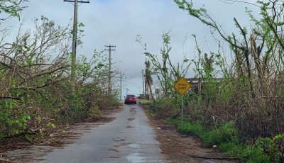
Based on information received from the National Weather Service in Tiyan, Guam, and compiled at the CNMI Emergency Operations Center-State Warning Point, converging monsoon winds south of Tropical Storm Sanvu will maintain heavy showers and some thunderstorms through today, Wednesday, on Saipan, Tinian, and Rota.
Waves and surf along west facing reefs will remain hazardous at 8 to 10 feet. Surf will remain at hazardous levels until this afternoon. There is also a high risk of rip currents along west facing reefs.
Winds of 25 to 35 mph with gusts of up to 45 mph near showers will persist through Wednesday morning.
If you are planning any outdoor activities today, be alert for hazardous weather and aware of current conditions and be prepared to move indoors.
Mariners operating small vessels should be prepared for strong winds and seas of 10 to 12 feet. Small craft should remain in port as these conditions will be hazardous for their operation.
Inter-island travel is not recommended until Thursday.
Inexperienced mariners, especially those operating smaller vessels, are encouraged to avoid sailing in these conditions. Also, avoid venturing out to exposed reef lines and beaches, especially along west facing shores as rip currents will be life threatening.
Residents of Saipan, Tinian, Rota, and the Northern Islands are being encouraged to stay informed on the latest statements and advisories that will be available through local media sources and NOAA weather radio broadcast on 162.5 megahertz, or call the CNMI EOC State Warning Point at 237-8000 or 664-8000 and for the Northern Islands to contact the CNMI EOC State Warning Point at high frequency single side band radio on frequency 5.205.0. (EOC)