

Previous Story
Heavy rains forecasted for Marianas region
|
Posted on Dec 02 2020
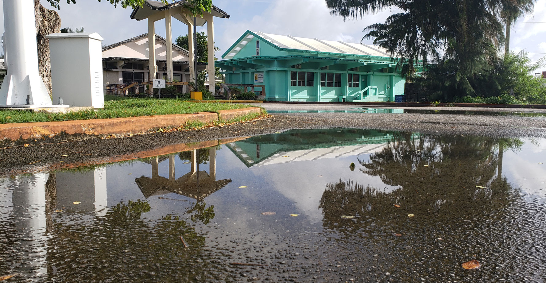
Photo shows the wet ground of the area near the Pedro P. Tenorio Multi-Purpose Center after a heavy rainfall.
(NEIL FAMA)
Locally heavy rainfall is possible late Wednesday and Thursday, according to the National Weather Service.
Based on the information received from the NWS in Tiyan, Guam, and compiled at the CNMI Emergency Operations Center State Warning Point, a disturbance to the southeast of Guam continues to move west-northwest. By Wednesday, heavier showers will move into the Mariana islands and trend toward numerous showers with the heaviest rain around Thursday afternoon, with more rain for Guam and Rota. Rainfall amounts of 3 to 5 inches are possible during this time, though local amounts could be substantially higher. For the past few days, global models suggest a surface and mid-level circulation may manifest itself southwest of Guam early Thursday, which may enhance low-level convergence and trigger plenty of showers. Heaviest showers are expected to be just south of Guam.
Localized flooding will be possible in low-lying and poor drainage areas while flash flooding will be possible in areas of the heaviest rainfall, especially near steep terrain. This developing situation will continue to be monitored closely and a flash flood watch may be issued, if conditions warrant.
The public is being advised to check storm drains in your area to make sure they are not clogged. If planning anything outdoors this week, have a backup plan in place. (PR)


