Previous Story
Heavy rain seen this weekend until Monday
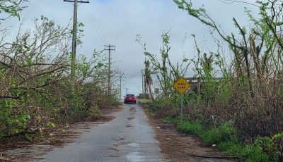
The weather agency forecasts heavy rainfall possible for the Marianas over the weekend into early next week.
Based on the information received from the National Weather Service in Tiyan Guam and compiled at the CNMI Emergency Operations Center State Warning Point, a developing tropical disturbance and its associated monsoon trough will gradually drift west-northwestward for the Marianas over the weekend. These features will generate showery conditions with heavy downpours beginning as early as Friday evening through Monday night.
Current model output shows rainfall amounts of up to 10 inches over the Marianas by Monday evening, with substantially higher amounts just west of the coastal waters as the developing circulation slowly moves northward. If the circulation makes a slight shift to the east, it could bring rainfall amounts in excess of 20 inches to the islands.
Heavy downpours could produce flooding in urban and low-lying areas and flash flooding near rivers and streams.
Now is a good time to clear drainage areas and un-block clogged storm drains in your area to minimize the chance of flooding. Residents living near rivers and streams need to review plans for protecting properties.
The CNMI Emergency Operations Center State Warning Point will be monitoring this developing situation and flood watches and advisories will be issued when necessary.
Keep a close watch on updates to weather forecasts and stay informed on the latest statements and advisories which will be available through local media sources and NOAA weather radio broadcast on 162.5 megahertz, or call the CNMI Emergency Operations Center State Warning Point at 237-8000 or 664-8000, and for the Northern Islands to contact the CNMI Emergency Operations Center State Warning Point at high frequency single side band radio on frequency 5.205.0. (PR)