Previous Story
Tropical depression to pass near CNMI, Guam today
Heavy rainfall expected until Friday morning; flash flood watch issued
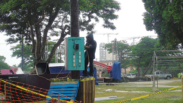
A man tries to fix wirings at the 2018 Liberation Day celebration venue at the Fishing Base in Garapan yesterday afternoon. Booths were closed and most were dismantled, while canopies were removed as the Liberation Day parade was postponed indefinitely due to Tropical Depression 10W. (Ferdie de la Torre)
Heavy rainfall is expected until Friday morning as Tropical Depression 10W has continued to intensify and slowly moved through the Marianas last night and today, Thursday.
As of 6pm yesterday, the U.S. National Weather Service Guam issued a flash flood watch for Saipan, Tinian, Rota, and Guam.
Gov. Ralph DLG Torres advised residents of Saipan to stay informed of the latest statements and advisories which will be available through the local media sources and CNMI Emergency Operations Center State Warning Point.
The CNMI experienced rains starting yesterday morning until last night.
On Saipan, as of 2:30pm yesterday, minor flooding occurred on the shoulder of the road at some areas of Beach Road. Northbound vehicles slowed down in front of StaR Water as water filled up half of the lane.
On Chalan Pale Arnold or Middle Road, the shoulder of the road and portion of outer lane at some areas had been flooded.
Only few picnic tables, chairs, and tents installed for the Liberation Day parade were seen at this time on the side of Beach Road as families and groups removed them due to cancellation of the event. A few, however, continued their picnic in their tents and in the pavilions.
Packing maximum sustained winds at 35 miles per hour, Tropical Depression 10W is forecast to continue to intensify, possibly becoming a tropical storm Wednesday night.
As of 5pm yesterday, the center of Tropical Depression was 115 miles southeast of Guam, 130 miles south-southeast of Rota, 185 miles south of Tinian, 190 miles sought of Saipan, and 445 miles south of Agrihan.
As of 5pm, tropical storm warning remained in effect for Guam and Rota. It means that tropical storm conditions, including damaging winds of 39mph or more, were expected last night.
As of this same time, tropical storm watch remained in effect for Tinian and Saipan. It means tropical storm conditions, including damaging winds of 39mph or more, are possible within 24 to 36 hours.
NWS’ forecast is that Tropical Depression 10W will pass near Guam early morning today, Thursday.
NWS said a northward shift could still bring Tropical Depression 10W over Guam or through the Rota Channel.
NWS advised the people of the CNMI and Guam to prepare for increasing winds by securing loose outdoor items and canopies.
Mariners should make all necessary preparations to return to port, seek safe harbor, and secure their vessels.