

Previous Story
Underwater mapping reveals evolution of Johnston Atoll
Researchers map 11,000 square kilometers of the ocean floor
-

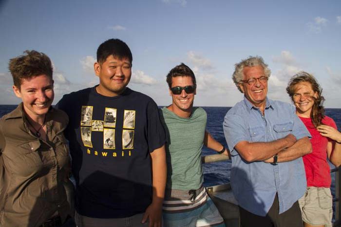
- The outreach team, from left to right, cartoonist Lucy Bellwood, student opportunities participant Andrew Kang, 11th Hour ambassador Brock Callen Jr., 11th Hour grantee Brock Callen Sr., and educator Jena Kline. (SCHMIDT OCEAN INSTITUTE)
-
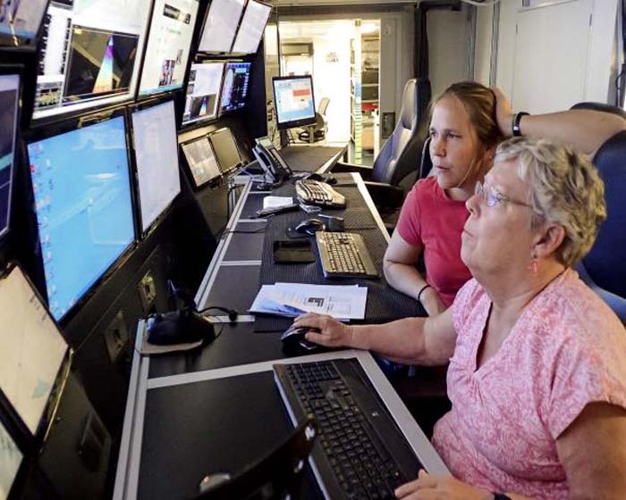
- Joyce Miler and Jena Kline review the mapping data in the science control room. (SCHMIDT OCEAN INSTITUTE)
HONOLULU, Hawaii—Over 11,000 square kilometers of the ocean floor were mapped in high-resolution for the first time in a recent research expedition sponsored by Schmidt Ocean Institute and led by University of Hawaii scientist Dr. John R. Smith.
Smith, working with Jonathan Tree, University of Hawaii, and Joyce Miller, used multibeam sonar on research vessel Falkor to generate detailed maps of portions of the remote Johnston Atoll Unit of the Pacific Remote Islands Marine National Monument.
The mapped region, which is almost the size of the state of Connecticut, falls within the recently expanded boundaries of a U.S. marine protected area. The area is populated with high-density deep-sea corals and sponges and is of great interest to researchers who view it as a stepping-stone between distinct marine ecosystems in the Northwestern Hawaiian Islands and the Central and South Pacific.
“We are trying to characterize the living and non-living resources in these newly protected regions,” said Smith. “Detailed seafloor maps are the first step toward more focused follow-on studies with manned and robotic submersibles. Much like planning a road trip, the first thing you go to is a paper map or Google maps. In this case, the seafloor features provide the habitat for the biological communities that call these seamounts their home, and we use the mapping data to locate them by knowing their preferences from previous studies.”
Compiling the days of multibeam mapping results revealed fascinating structures under the ocean surface.
The last of these features to be mapped, and perhaps the most interesting, is a large seamount dotted with smaller peaks currently referred to as “Big Top,” as it resembles the broad striped big top tents commonly seen at carnivals.
In addition to revealing the shape of these seamounts, the mapping that was completed on this expedition also yields valuable insight into their geologic composition. Although “Big Top” is now one large mass, this analysis demonstrates that it was potentially four distinct volcanoes reaching thousands of feet above the ocean surface in the past. Since then, continued remodeling in the form of volcanic eruptions and erosion has morphed it into one large, sub-surface mountain.
A dedicated science outreach team to engage the public in these essential mapping expeditions accompanied Smith, Tree and Miller on this three-week expedition from Guam to Honolulu.
Adventure cartoonist Lucy Bellwood created a comic book series presenting the science of multibeam mapping and highlighting the unique findings of this expedition, which were also turned into a film short.
Educators, including Jena Kline (‘Iolani School, HI) and 11th Hour Racing grantee Brock Callen Sr. (Martha’s Vineyard Regional High School & Sail Martha’s Vineyard, MA) designed curriculum for students based on the data collected at sea, and along with 11th Hour Racing ambassador Brock Callen Jr., conducted ship-to-shore connections from the ship to engage classrooms in oceanographic research and conservation.
For more information visit www.schmidtocean.org.


